Hannah Pivo is a Ph.D. candidate specializing in 19th- and 20th-century design history, with a focus on the history of graphic design and information visualization in the United States. She holds a B.A. from Pomona College and an M.A. in Modern and Contemporary Art History with a specialization in Design History from the School of the Art Institute of Chicago. Her research has been supported by the Temple Hoyne Buell Center for the Study of American Architecture at Columbia University, the Center for the History of Business, Technology and Society at the Hagley Museum and Library in Wilmington, Delaware, and the Cary Graphic Arts Collection at Rochester Institute of Technology. She has published in the Journal of Design History, Design Issues, and Public Art Dialogue and has contributed to exhibition catalogs on various topics in modern and contemporary art and design. Along with Luca Arens and Maur Dessauvage, she organized the first graduate student symposium at the Center of Comparative Media entitled Ministry and Mystery.
Hannah is currently completing a dissertation, "Data, Form, and the Future: Graphic Methods in the United States, c. 1910–40," supervised by Professor Zeynep Çelik Alexander. The project investigates techniques of data analysis and presentation, collectively known as ‘graphic methods,’ that were used in the early twentieth-century United States by corporate executives and statisticians, social scientists, and government planners, among others, to anticipate and shape the future.
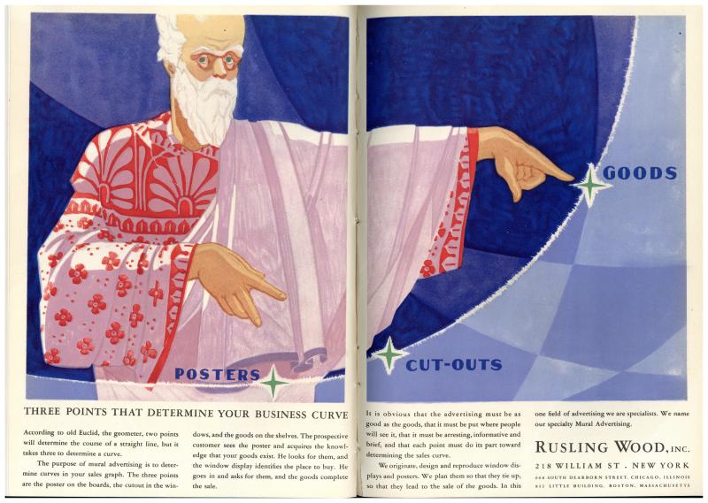
Rusling Wood, Inc. advertisement, Printers’ Ink Monthly (Nov 1927).

